 Sold out
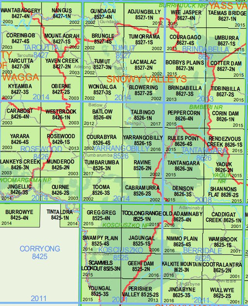
Cabramurra 8526-2-S 1:25k LPI Map Printed
ABC Maps
Cabramurra 8526-2-S 1:25k LPI Map Printed LPI Map Printed By ABCMaps Detailed 1:25,000 scale topographic map by New South Wales State Government.
 Sold out
Cabramurra 8526-2-S 1:25k LPI Map Printed LPI Map Printed By ABCMaps Detailed 1:25,000 scale topographic map by New South Wales State Government.
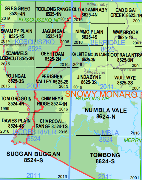
Charcoal Range 8524-1S 1:25k LPI Map Printed LPI Map Printed By ABCMaps Detailed 1:25,000 scale topographic map by New South Wales State Government.
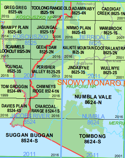
Chimneys Ridge 8524-1N NSW Topographic Map – Printed LPI Map Printed By ABCMaps Detailed 1:25,000 scale topographic map by New South Wales State Go...
View full details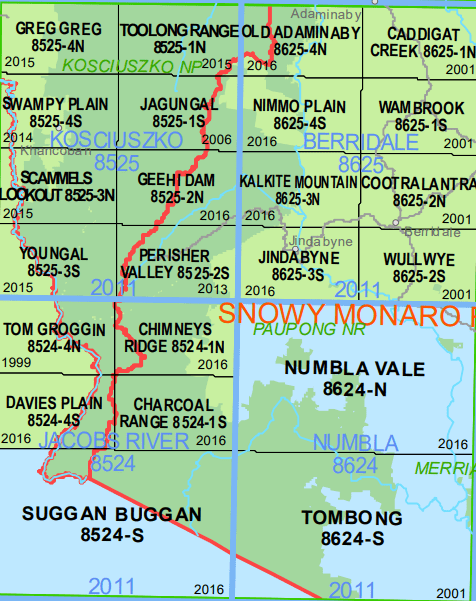
Davies Plain 8524-4-S 1:25k LPI Map Printed LPI Map Printed By ABCMaps Detailed 1:25,000 scale topographic map by New South Wales State Government.
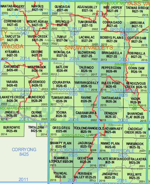
Denison 8626-3-S 1:25k LPI Map Printed LPI Map Printed By ABCMaps Detailed 1:25,000 scale topographic map by New South Wales State Government.
 Sold out
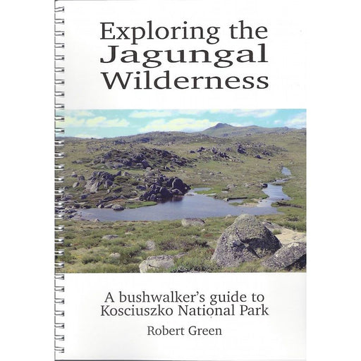
The 2003 fires in Kosciuszko National Park, destroyed 23 huts and did enormous environmental damage. But they had some beneficial side effects. By ...
View full details Sold out
The book features 22 day walks (with 32 variations) in the alpine, subalpine and lowland areas of Kosciuszko National Park. Detailed walk descripti...
View full details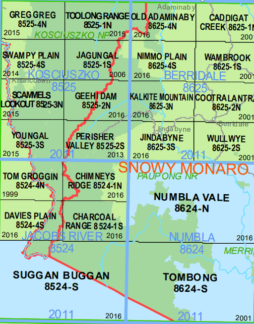
Geehi Dam 8525-2N NSW Topographic Map – Printed – ABC Maps Detailed 1:25,000 scale topographic map by New South Wales State Government
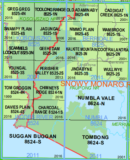
Jagungal 8525-1-S NSW Topographic Map – Printed – ABC Maps Detailed 1:25,000 scale topographic map by New South Wales State Government.
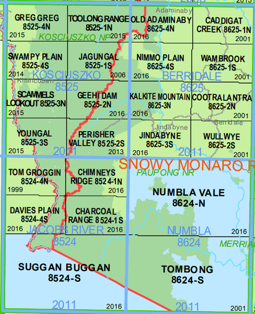
Detailed 1:25,000 scale topographic map by New South Wales State Government. Printed By ABC Maps
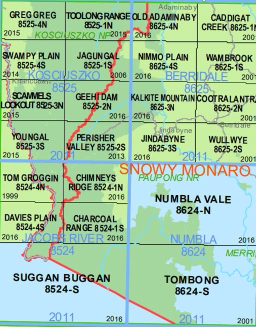
Detailed 1:25,000 scale topographic map by New South Wales State Government.
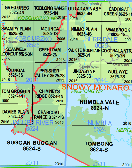
Detailed 1:25,000 scale topographic map by New South Wales State Government.
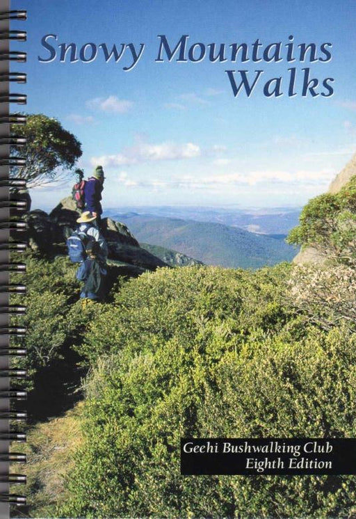
Snowy Mountain Walks introduces the reader to the Snowy Mountains region of New South Wales. The region is part of the Kosciouszko National Park, o...
View full details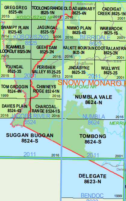
Toolong Range 8525-1N NSW Topographic Map Printed Detailed 1:25,000 scale topographic map by New South Wales State Government.
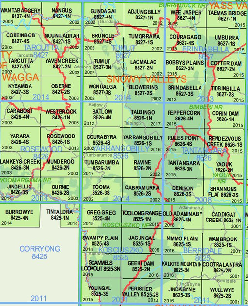
Tooma 8526-3-S 1:25k LPI Map Printed LPI Map Printed By ABCMaps Detailed 1:25,000 scale topographic map by New South Wales State Government.
Regular hours:
Mon 10am - 5pm
Tue 10am - 5pm
Wed 10am - 5pm
Thu 10am - 5pm
Fri 10am - 5pm
Sat 9.30am - 4pm
Sun 10am - 3pm

1045 Victoria Rd, West Ryde NSW 2114
02 9858 5844
contact@alpsport.com.au
© Alpsport 2021
