$67.99
Topograph Snowy Mountains Outdoor Recreation Map 2nd Edition
Topograph
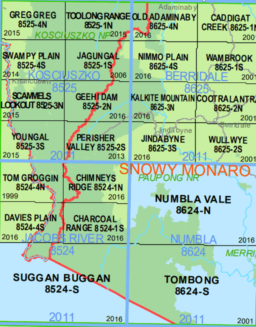
This topographic map of the N.S.W. Alpine Main Range and Jagungal Wilderness covers the highest mountains in Australia. It was born from the need f...
View full details
$67.99