


This second edition topographic map captures the highest mountains in Australia and was born from the need for a detailed and durable map to understand and navigate the mountains. It balances beauty with function and is inspired by the illustrative detail of Swiss skitouring maps and modernist cartographic style of U.S. Geological Survey of the 1960’s.


THIS ITEM CANNOT BE POSTED. IN-STORE PICK UP ONLY. Choose a fuel as advanced as your stove. Formulated for maximum efficiency and minimum consumpti...
View full details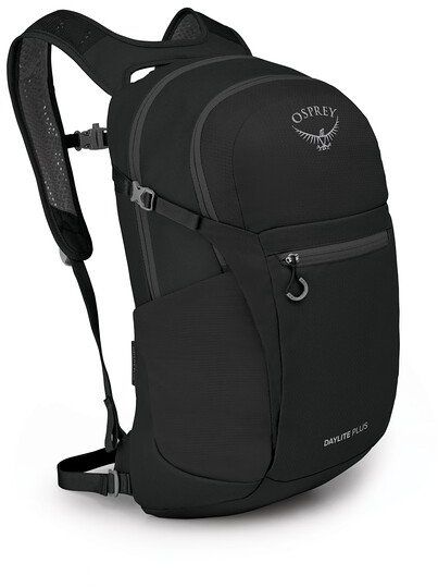
Everything you love about the Daylite® with additional storage space and organization options. The Daylite Plus shines on its own for daily needs a...
View full details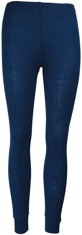
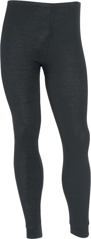
Sherpa Thermals are the ideal base layer. Worn snugly and close to the skin they keep you warm, dry and comfortable. You will always perform at you...
View full details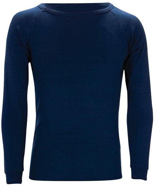
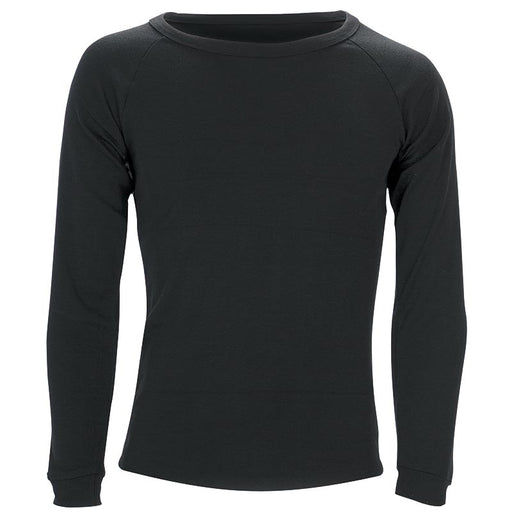
Sherpa Thermals are the ideal base layer. Worn snugly and close to the skin they keep you warm, dry and comfortable. You will always perform at you...
View full details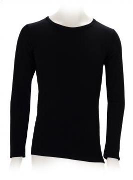
Merino wool is nature's miracle fibre, providing us with unique properties of warmth and comfort that only nature herself could come up with. At Sh...
View full details